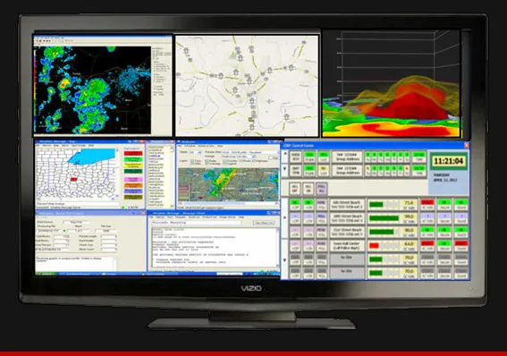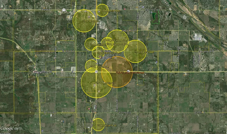
Storm Siren Software which provides an interactive, scale, and 3-D map views.
Storm Sirens, Inc. specializes in the latest technology to design custom storm siren systems to best fit any given project.
Our professional staff can help you find the best solution through our storm system design services, and the best storm siren product for your needs.
Contact us, and we will connect you to a site designer who will produce a map of your project, complete with suggested siren placement, siren models, activation equipment, and estimated costs. We can find the best solution for Outdoor Warning Sirens, as well as the best Storm Siren Software to fit your needs.
Our professional Storm Siren System Design Services involve developing a storm siren system that is unique to your location. We will study the local terrain using the latest in satellite and aerial imagery available from Google Earth.
We are then able to get a ground-level view of your community, becoming acquainted with the local terrain, populous regions, schools, parks, government offices, and business districts. We want to become as familiar as possible with the flow and dynamics of your community.
After becoming familiar with the region, we determine the optimal sites for siren placement, based on factors such as terrain, population, and availability of power.
Ultimately, whether you have a large metropolitan area requiring a large-scale siren system, or a intimate, rural community with smaller coverage needs, we take the time to fully customize your storm siren system.
Storm Sirens, Inc. will even go so far as to examine storm history for the area such as the direction from which severe weather historically arrives, storm intensity, and more. Our research through such sites such as NOAA, and the National Weather Service, ensures we consider historical trends and account for the best solution for your project.
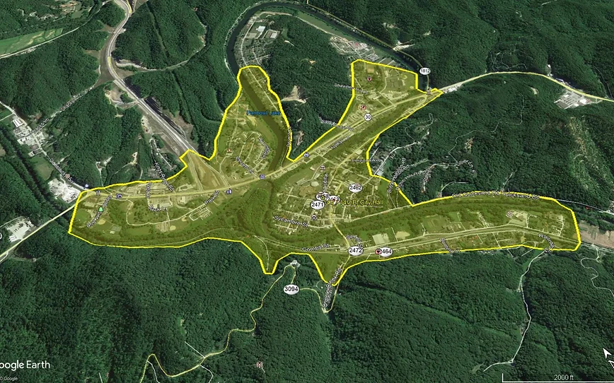
Local terrain analysis based on the satellite and aerial imagery from Google Earth

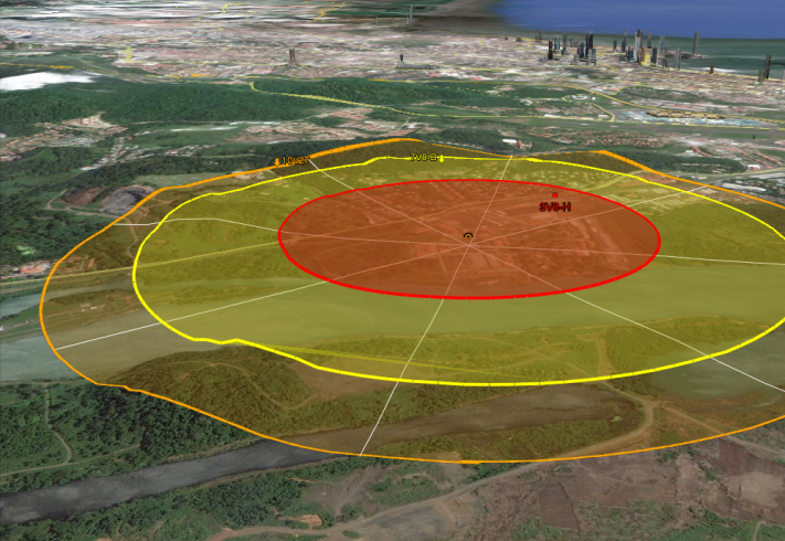
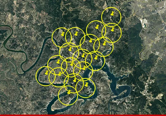
Storm siren coverage map overlay in Google Earth
After multiple potential siren options and/or sites are selected, we create a siren coverage map overlay in Google Earth, visually representing how our sirens will cover your community.
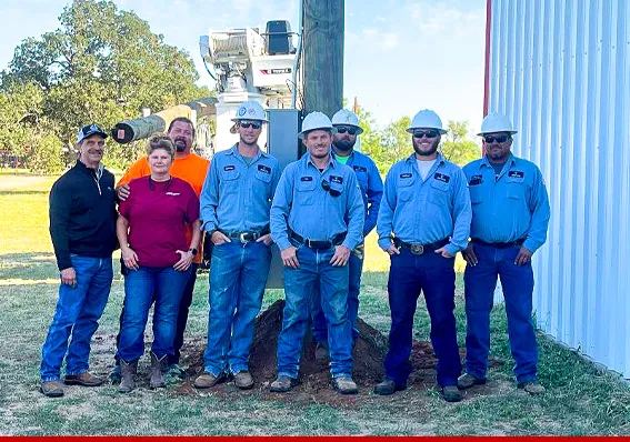
And if that isn’t enough, we can even schedule a time for a Sentry designer to physically come to your community and visit with city personnel to stand on and examine the site.
We search for any potential threats to the warning system’s performance such as sound barriers, ambient noise sources, and even future development.
Our site design service is a state-of-the-art product and is yet another example of the Storm Siren, Inc. difference.
System Design and Coverage Mapping
Our team has extensive experience designing the optimum warning siren system for your community – our complimentary siren site design service will take away the guesswork.
We look at topography, foliage, population centers, infrastructure, and a host of other factors to help you determine the best siren model and installation location to protect your community.
